
Ground Scan NZ (GSNZ) was engaged by Tauranga City Council to undertake a comprehensive utility investigation and subsurface mapping program in support of proposed wastewater infrastructure upgrades along Totara Street, Mount Maunganui.
The project required a high level of technical precision and coordination to identify and map all underground services within the designated works areas. The resulting dataset needed to be suitable for design-stage decision making, with a strong emphasis on accuracy, clarity, and reliability.
Project Overview
The scope covered multiple proposed wastewater tank locations, with a requirement to investigate all subsurface infrastructure within the defined project extents.
GSNZ delivered a fully integrated, end-to-end solution. By managing all aspects of the project in-house, alongside key subcontractors, we were able to streamline delivery, maintain consistency, and ensure full accountability across all outputs.
Key components of the project included:
- Traffic Management planning, approvals, and implementation (TMP & CAR)
- Utility location using EML, 2D GPR, and Multi-Channel (3D) GPR
- Survey-grade subsurface utility mapping
- Targeted hydro-excavation for service verification
- Full reinstatement of all disturbed surfaces
- Delivery of 2D and 3D digital outputs for design integration
Methodology
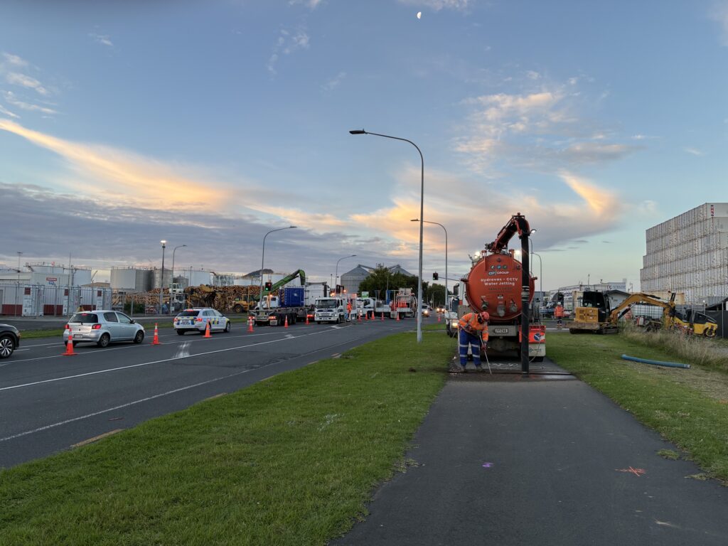
Traffic Management & Site Coordination
Operating within a live urban corridor required careful planning and execution. GSNZ developed and implemented a compliant Traffic Management Plan, including all necessary Corridor Access Requests.
Because this capability sits within our business, traffic management was seamlessly coordinated with field operations. This reduced downtime, improved efficiency on site, and ensured safe working conditions at all times.
Utility Location
A comprehensive detection program was undertaken using a combination of complementary technologies. This multi-method approach allowed for a higher level of confidence in identifying both known and unknown services.
The techniques applied included:
- Electromagnetic Location (EML) for conductive services
- 2D Ground Penetrating Radar (GPR) for general subsurface detection
- Multi-Channel (3D) GPR in complex or high-risk areas
The selective use of 3D GPR provided enhanced subsurface visibility, particularly in areas where traditional methods alone may not have delivered sufficient clarity.
Survey-Grade Utility Mapping
All detected services were captured by GSNZ’s in-house survey team and incorporated into a structured CAD environment. This ensured the data was not only accurate but also immediately usable for design purposes.
Survey outputs included:
- Horizontal positioning of all detected services
- Depth estimation where achievable
- Capture of relevant above-ground features
- Structured layering of utilities within CAD
Where services were physically exposed and verified, the dataset was upgraded to Quality Level A (QL-A), providing the highest level of positional confidence.
Service Verification (Hydro-Excavation)
To reduce uncertainty in critical areas, GSNZ undertook targeted hydro-excavation works. Slot trenches were installed in accordance with the agreed scope to expose key services.
This allowed for:
- Non-destructive confirmation of service type and position
- Accurate survey pickup of exposed assets
- Upgrade of key services to QL-A classification
This step played a critical role in improving the reliability of the final deliverables and reducing downstream risk.
Reinstatement
All excavation areas were reinstated by GSNZ to meet required specifications. This included reinstatement of asphalt and concrete surfaces, as well as backfilling to appropriate standards.
By completing reinstatement works in-house, we maintained full control over quality and ensured the site was returned to its original condition.
Deliverables
GSNZ provided a comprehensive, design-ready package tailored to the client’s requirements. The deliverables were structured to integrate directly into the client’s design workflow.
The final outputs included:
- 2D plan set incorporating LINZ aerial imagery
- 3D CAD subsurface model in .DWG format
- Fully layered CAD file, with each utility type separated
- Interactive 360° manhole and pit imagery
Outcome
This project highlights the value of GSNZ’s integrated delivery model, where utility location, surveying, verification, and reinstatement are all managed under a single provider.
This approach enabled:
- A high-confidence understanding of the subsurface environment
- Reduced design and construction risk
- Improved efficiency through streamlined workflows
- Clear accountability for all deliverables
By combining advanced geophysical techniques with survey-grade mapping and physical verification, GSNZ delivered a dataset that provides both clarity and confidence for future project stages.
Looking Ahead
As infrastructure projects continue to increase in complexity, the demand for accurate and reliable subsurface information will only grow.
Ground Scan NZ remains committed to delivering high-quality, defensible data that supports better decision-making and more efficient project delivery.
