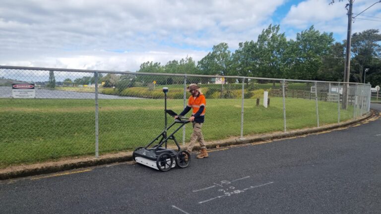
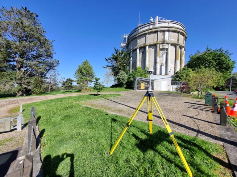
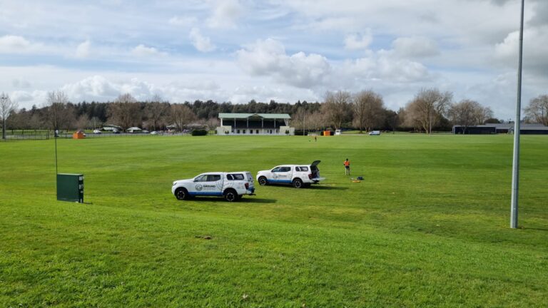
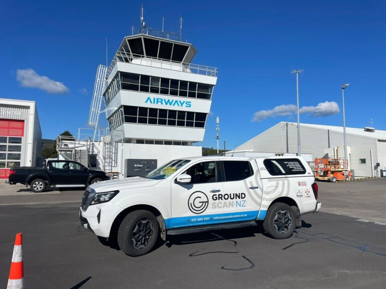
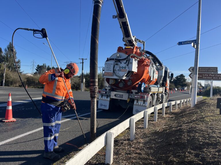
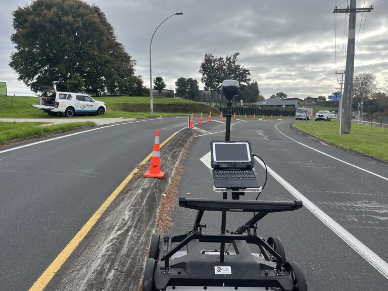
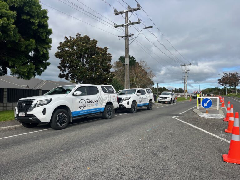
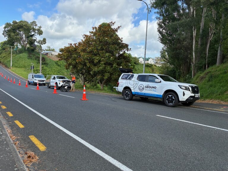
Projects

GPR Survey Map

Whitianga Stormwater Upgrade

Ground Scan NZ was contracted by Thames-Coromandel District Council to carry out Utility Location & Mapping of underground services to facilitate the design of upgraded Stormwater Retention Systems around Cook Drive, Whitianga. The purpose was to facilitate the design of

Read More »
Ground Scan NZ Waikato Team

Talk About Monkey Business

Ground Scan NZ was proud to recently team up with local engineering consultants, Beca, and survey consultants, SEAM Surveys, for an exciting and challenging project at the iconic Hamilton Zoo. The goal was to accurately locate all underground services throughout

Read More »
Farm Utilities Network Map

O’Regan Farm Water Network

Dealing with water leaks is an annual event on most farms. Every summer as the ground dries out buried irrigation lines are stretched and contorted, joints are wrenched and ageing pipe seams are tested to breaking point. As the saying

Read More »