
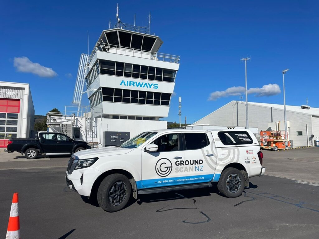
Rotorua Airport engaged Ground Scan NZ to locate a power cable running to an island in Lake Rotorua. The cable traverses land that is to be gifted back to mana whenua, and an accurate easement was required to protect both the infrastructure and cultural interests.
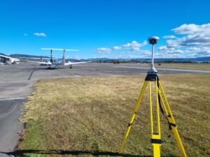 Our team was tasked with precisely locating the cable along its entire route. Using advanced utility locating techniques, we traced the power line across varied terrain to ensure full coverage and accuracy. Once located, each section of the cable was surveyed to provide reliable spatial data for planning and easement purposes.
The final deliverables were issued in both CAD DWG and survey-grade PDF formats. This dual output provided the client with a precise record suitable for integration into their infrastructure planning while also offering clear reference material for legal and cultural considerations associated with the land transfer.
Through this project, Ground Scan NZ demonstrated our ability to deliver accurate utility information in sensitive and high-stakes contexts. The Rotorua Airport power cable project highlights our expertise in combining utility locating and survey practices to provide clients with actionable data that safeguards both operational and community interests.
