
When it comes to planning construction or infrastructure projects, knowing what lies beneath the surface is crucial. Ground Scan NZ often uses Electromagnetic Location (EML) as a key tool for accurately locating underground utilities and avoiding costly surprises. But what exactly is EML, and how does it work?
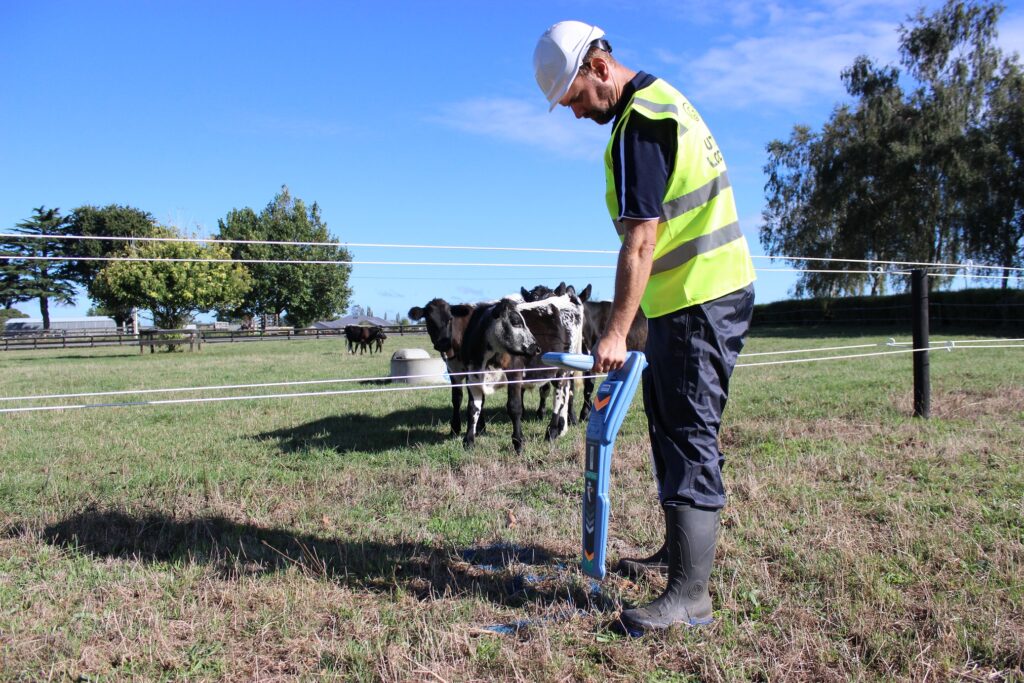
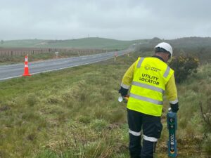 Electromagnetic Location is a non-invasive method used to detect and trace buried metallic utilities, including pipes, cables, and conduits. The technique works by applying an electromagnetic signal to the target utility, either directly or inductively. This signal generates a secondary electromagnetic field that can be detected at the surface using specialised locating equipment. By following this signal, our technicians can trace the exact path of underground services with high precision.
One of the main advantages of EML is its versatility. It can locate a wide variety of metallic utilities, including electrical cables, gas and water pipes, and telecommunications lines. Even utilities that are hidden beneath asphalt, concrete, or compacted soil can be detected without the need for excavation. This makes EML a safe, efficient, and cost-effective method for planning and design purposes.
At Ground Scan NZ, we often combine EML with other technologies, such as Ground Penetrating Radar (GPR) or hydro-vac excavation, to provide a comprehensive picture of the subsurface environment. Once utilities are located, their positions are precisely surveyed, allowing us to deliver accurate CAD DWG and PDF plans. These outputs give clients actionable data that supports construction planning, risk management, and compliance with safety regulations.
EML is not only a practical tool but also a critical part of proactive project management. By identifying the location of underground services before construction begins, project delays, unexpected costs, and safety risks can be significantly reduced. Whether you’re working on road upgrades, building developments, or infrastructure expansion, understanding what lies below the surface is essential—and EML is one of the most reliable ways to do it.
If you’re planning a project and need accurate utility location, Ground Scan NZ can provide the expertise, technology, and precise survey outputs you need to proceed with confidence.
